- English
- Français
Languages:
This site is created using Wikimapia data. Wikimapia is an open-content collaborative map project contributed by volunteers around the world. It contains information about 32728779 places and counting.
Learn more about Wikimapia and cityguides.
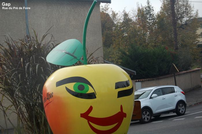
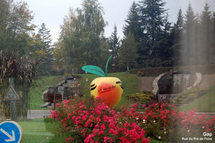
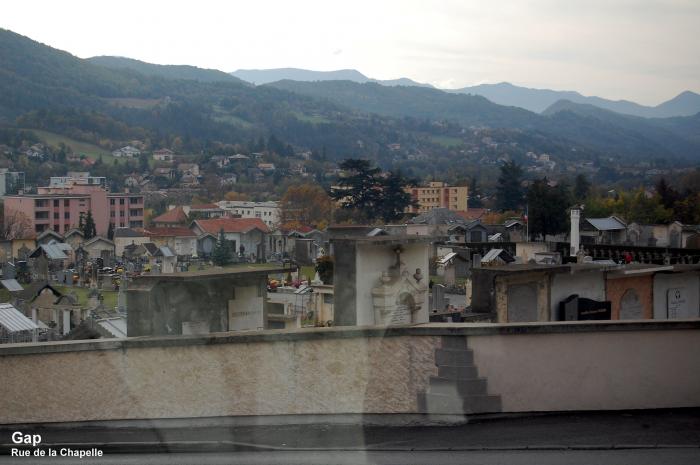
Gap, Hautes-Alpes
2011 Tour de France stage 16 finish
2011 Tour de France stage 17 start
Wikipedia article: http://en.wikipedia.org/wiki/Gap,_Hautes-Alpes
Gap, Hautes-Alpes on the map.